MAP
Topographical Map
TM000109
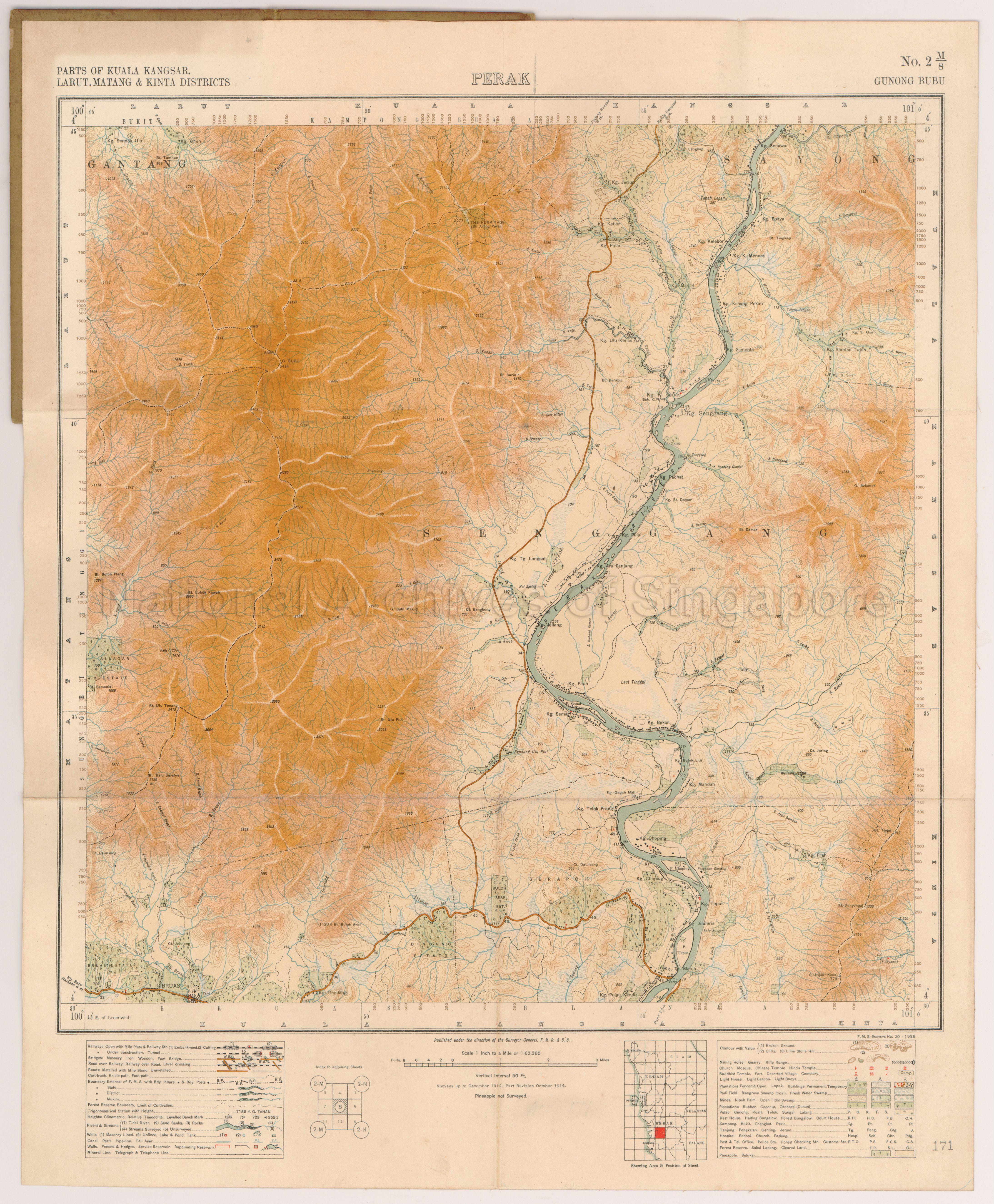
Gunong Bubu. Perak. Parts of Kuala Kangsar, Larut, Matang and Kinta Districts
1926
Gunong Bubu. Perak
Map covers parts of Larut, Matang, Kuala Kangsar and Kinta Districts in Perak, Malaya in 1914 showing contours, physical landscape, kampongs, roads, rivers, padi fields, plantations, Perak River, and others
Map covers parts of Larut, Matang, Kuala Kangsar and Kinta Districts in Perak, Malaya in 1914 showing contours, physical landscape, kampongs, roads, rivers, padi fields, plantations, Perak River, and others
20050000689 - 0075_AccNo171
F.M.S.Surveys No.20_1926 Sheet 2M_8
Surveyor-General, Federated Malay States (F.M.S.) and Straits Settlements (S.S.)
Viewing permitted only. No reproduction is allowed.
Old accession number: 171
Credit line: Singapore Land Authority collection, courtesy of National Archives of Singapore
Processing of requests may require 3-5 working days
